Why we invested in Kelluu
There is no good solution for persistent, wide-area aerial monitoring in harsh conditions. Satellites revisit too infrequently and optical sensors are cloud-blocked 60–70% of the time over Arctic and Nordic regions. Drones deliver excellent data quality but run out of power in under an hour, lose up to 80% battery capacity below -20°C, and require an operator on the ground. Manned aircraft are too expensive to run continuously. That gap is where critical infrastructure goes unmonitored, wildfires spread, and borders go dark.
Kelluu operates in that gap. As far as we can tell, they are the only ones who have figured out how to do it reliably.
The Balloon Is Just the Start
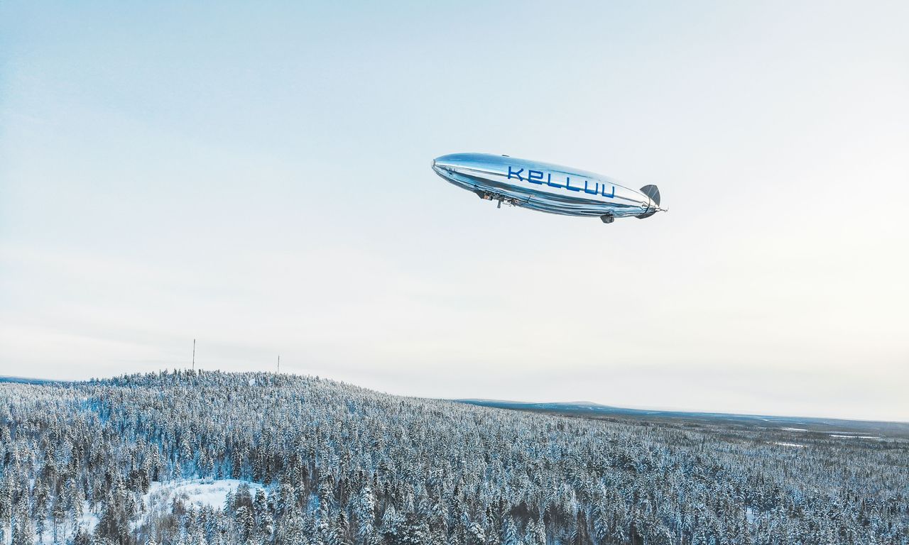
Kelluu's vehicle proved genuinely superior to the alternatives. Hydrogen-powered lift means no batteries to degrade in the cold. Operating below the clouds, not above them like stratospheric balloons, means useful sensor data in the conditions that matter. Thousands of operational flight hours in extreme cold, icing conditions, and GPS-denied environments have produced operational knowledge that cannot be replicated quickly.
But the vehicle is the foundation, not the ceiling. What compounds the advantage is everything built on top: autonomous navigation that holds position under active GPS jamming, tested on the Finnish-Russian border; edge AI that processes sensor data before it hits the ground; and a containerised ground station deployable anywhere within 24 hours. The system runs for hours in Arctic conditions at roughly a tenth of the cost of the alternatives. NATO DIANA selected Kelluu as a top performer, and paying customers across defence and critical infrastructure have kept coming back.
The Team

Janne Hietala combines product clarity with the kind of operational persistence that actually gets hard things built. Aleksi Sahlberg scaled Tier Mobility across 250 European cities. Niko Kuikka ran teams of over 200 at a John Deere prime contractor. They started in a farm shed in rural Finland.
What's Next
Next generation is in production for deployment this year, extending endurance trifold and opening up more advanced payloads, and new use-cases.
The longer-term bet is on data. Every flight hour generates proprietary geospatial intelligence that compounds over time. Kelluu AI Labs is using that stream to build foundation models for the physical environment — how borders, forests, coastlines, and infrastructure corridors look, change, and behave. The platform that monitors NATO's Eastern Flank is also building the training data for the next generation of physical AI.
We are excited to partner with Janne and the Kelluu team, and to be joined by the NATO Innovation Fund, who led the round, alongside Gungnir Capital and Tesi.
